Important Places in Sri Lanka
Horton Plains Sri Lanka
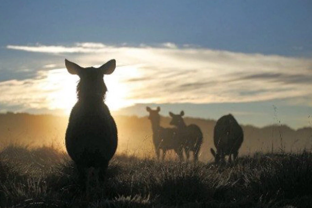
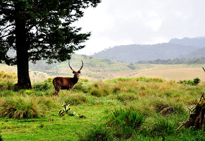
Breathtaking views and beautiful creatures: Horton Plains in Sri Lanka
Horton Plains in Sri Lanka, is the coldest and windiest location in the country.
It consists of ecosystems such as Montane evergreen forests, grasslands,
marshy lands and aquatic ecosystem. At an altitude of 2,100 meters above
sea level, Horton Plains spreads across over 3,169 hectares of the highest
tableland of the island. In view of the large number of endemic
flora and fauna species, Horton Plains was declared a UNESCO World Heritage Site on 30th July 2010.
Ecological importance of Horton Plains
Horton Plains, its surroundings, forests and the adjoining Peak Wilderness constitute Sri Lanka’s most important catchment area of almost all major rivers. The plains are also of outstanding scenic beauty and conservation importance, containing most of the habitats and endemic plants and animals representative of the country’s wet and Montane zones. The western slopes support the most extensive area of Montane cloud forest surviving in the island. Horton Plains is not merely a destination for nature tourists. Since the rich biodiversity of Horton Plains is still grossly underexplored, it affords invaluable opportunities to those engaged on educational and research activities. Protecting Horton Plains is a call of duty for all Sri Lankans.
Climate of Horton Plains
The Climate of Horton Plains is that of a wet Montane forest. The average annual temperature of 14-16⁰ Centigrade while the humidity is relatively low at 65%. Though annual rainfall of the highlands is about 2540mm, Horton Plains records over 5000 mm of rainfall annually.
During the dry season, the temperature drops to around 5⁰ Centigrade in the day time. Swept with strong gale force winds at times, over-night frost is fairly common.
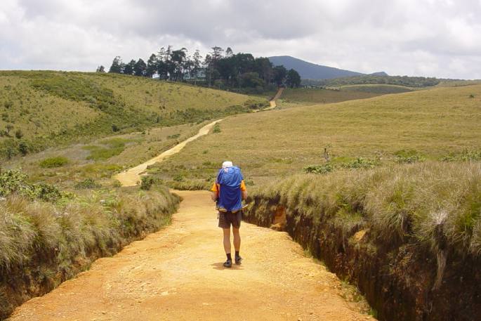
Terrain of Horton Plains
The gently rolling plateau of Horton Plains at the southern end of the central Montane massif of Sri Lanka is interspersed with net work of streams and channels. The Montane forest is also the source of three major rivers of Sri Lanka: River Mahaweli-the longest river of Sri Lanka, River Walave and River Kelani. Still more, Horton Plains is bounded by the country’s second and third highest mountain peaks of Sri Lanka: Mount Kirigalpotta Kanda (2389 m) and Mount Thotupola Kanda (2357 m).
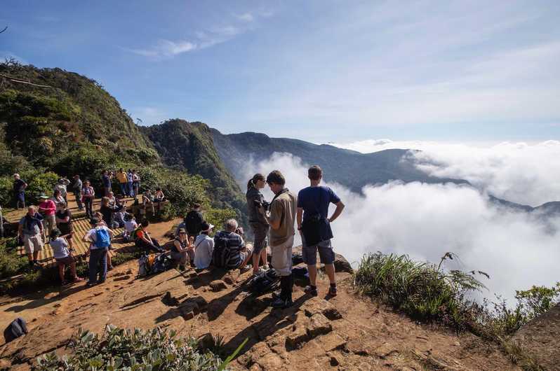
The escarpment with a depth of 900 meters called World’s End and Baker’s Falls is one of the highlights of the Horton Plains.
History of Horton Plains
The great plains of the Central Highlands of Sri Lanka was discovered by the planter Thomas Farr in the early 19th century. In 1834 it was named Horton Plains in honor of then Governor of Ceylon (1831-1837) Sir Robert Wilmot Horton. In the year 1969, Horton Plains was declared a nature reserve.In 1988, the reserve was elevated to the status of a National Park.
Location of Horton Plainsbr
Horton Plains is spread over the southern ridge of the central highlands in between Nuwara Eliya and Haputale. The tourists approaching Horton Plains from Nuwara Eliya find an entrance point at Pattipola while those approaching from Haputale find an entrance point at Ohiya. Three kilometers drive from either entrance leads to the newly built visitors center. Visitors center exhibits interesting displays on the history of flora and fauna of Horton Plains.